
木勒央地玛村 topographic map
Interactive map
Click on the map to display elevation.
About this map
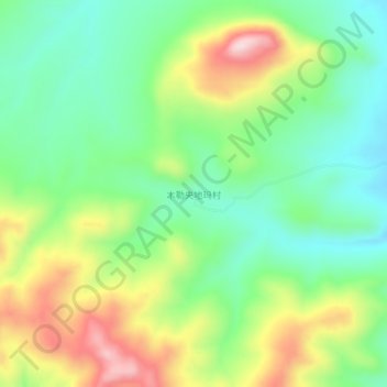
Name: 木勒央地玛村 topographic map, elevation, terrain.
Location: 木勒央地玛村, 帕那镇, 安多县, 那曲市, 西藏自治区, 中国 (32.32091 91.66324 32.36091 91.70324)
Average elevation: 4,883 m
Minimum elevation: 4,760 m
Maximum elevation: 5,091 m