
Inn topographic map
Interactive map
Click on the map to display elevation.
About this map
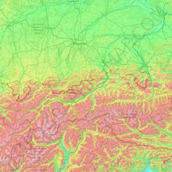
Name: Inn topographic map, elevation, terrain.
Location: Inn, Austria (46.40649 9.66645 48.57464 13.48480)
Average elevation: 1,151 m
Minimum elevation: 160 m
Maximum elevation: 3,829 m
Other topographic maps
Click on a map to view its topography, its elevation and its terrain.