
湍河 topographic map
Interactive map
Click on the map to display elevation.
About this map
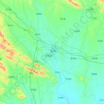
Name: 湍河 topographic map, elevation, terrain.
Location: 湍河, 城关镇, 内乡县, 南阳市, 河南省, 中国 (32.88164 111.78318 33.23949 111.91827)
Average elevation: 215 m
Minimum elevation: 131 m
Maximum elevation: 637 m