
Thank you for supporting this site ❤️
Make a donation
Make a donation
AGAS topographic map
Click on the map to display elevation.
Thank you for supporting this site ❤️
Make a donation
Make a donation
About this map
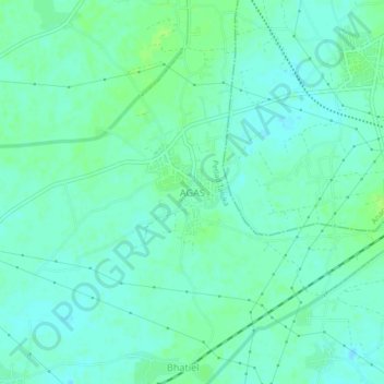
Name: AGAS topographic map, elevation, terrain.
Location: AGAS, Petlad Taluka, Anand, Gujarat, India (22.48414 72.83847 22.52414 72.87847)
Average elevation: 35 m
Minimum elevation: 30 m
Maximum elevation: 40 m
Thank you for supporting this site ❤️
Make a donation
Make a donation