
Nandgaon topographic map
Interactive map
Click on the map to display elevation.
About this map
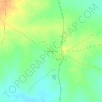
Name: Nandgaon topographic map, elevation, terrain.
Location: Nandgaon, Hinganghat, Wardha, Maharashtra, India (20.49287 78.58969 20.53287 78.62969)
Average elevation: 243 m
Minimum elevation: 227 m
Maximum elevation: 263 m