
利国镇 topographic map
Interactive map
Click on the map to display elevation.
About this map
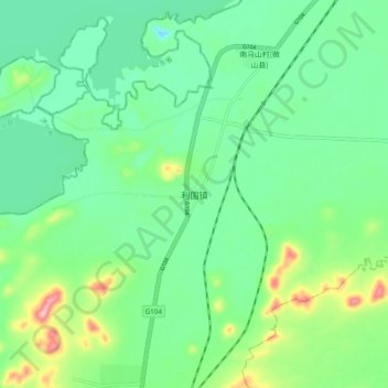
Name: 利国镇 topographic map, elevation, terrain.
Location: 利国镇, 徐州市, 江苏省, 中国 (34.49858 117.28359 34.57858 117.36359)
Average elevation: 49 m
Minimum elevation: -7 m
Maximum elevation: 176 m
Other topographic maps
Click on a map to view its topography, its elevation and its terrain.