
Merad topographic map
Interactive map
Click on the map to display elevation.
About this map
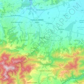
Name: Merad topographic map, elevation, terrain.
Location: Merad, Daïra Hadjout, Tipaza, Algérie (36.41249 2.26238 36.52231 2.48088)
Average elevation: 286 m
Minimum elevation: 30 m
Maximum elevation: 1,023 m
Other topographic maps
Click on a map to view its topography, its elevation and its terrain.
Hadjout
Algérie > Tipaza > Daïra Hadjout
Hadjout, Daïra Hadjout, Tipaza, Algérie
Average elevation: 110 m