
和平路街道 topographic map
Interactive map
Click on the map to display elevation.
About this map
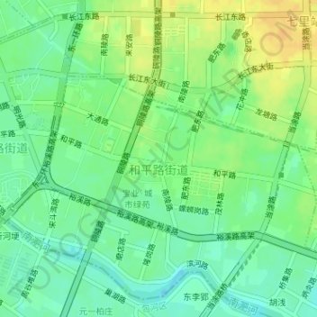
Name: 和平路街道 topographic map, elevation, terrain.
Location: 和平路街道, 瑶海区, 合肥市, 安徽省, 中国 (31.85039 117.30588 31.86452 117.33090)
Average elevation: 18 m
Minimum elevation: 5 m
Maximum elevation: 32 m
Other topographic maps
Click on a map to view its topography, its elevation and its terrain.