
南宋 topographic map
Interactive map
Click on the map to display elevation.
About this map
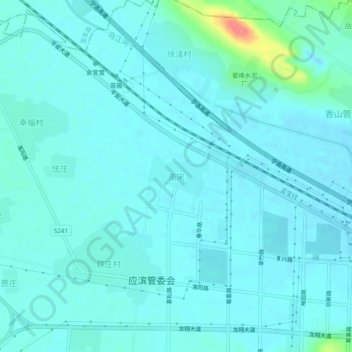
Name: 南宋 topographic map, elevation, terrain.
Location: 南宋, 平顶山市, 河南省, 467000, 中国 (33.77622 113.12544 33.81622 113.16544)
Average elevation: 111 m
Minimum elevation: 102 m
Maximum elevation: 172 m
Other topographic maps
Click on a map to view its topography, its elevation and its terrain.