
Kaas Valley of Flowers topographic map
Interactive map
Click on the map to display elevation.
About this map
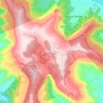
Name: Kaas Valley of Flowers topographic map, elevation, terrain.
Average elevation: 1,011 m
Minimum elevation: 654 m
Maximum elevation: 1,264 m