
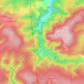
Goldisthal topographic map
Interactive map
Click on the map to display elevation.
About this map
Name: Goldisthal topographic map, elevation, terrain.
Average elevation: 712 m
Minimum elevation: 472 m
Maximum elevation: 867 m
Oberhalb des Ortes auf dem Farmdenkopf in 869 m Höhe befindet sich das Oberbecken des Pumpspeicherwerkes Goldisthal mit einem Fassungsvermögen von 12 Millionen Kubikmeter. 300 m unterhalb befindet sich das Unterbecken mit ca. 19 Millionen Kubikmeter Speichervolumen.