
农场 topographic map
Interactive map
Click on the map to display elevation.
About this map
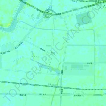
Name: 农场 topographic map, elevation, terrain.
Location: 农场, 鸠江区, 芜湖市, 安徽省, 中国 (31.34615 118.27495 31.38615 118.31495)
Average elevation: 7 m
Minimum elevation: 3 m
Maximum elevation: 13 m
Other topographic maps
Click on a map to view its topography, its elevation and its terrain.