
Rose Hill topographic map
Interactive map
Click on the map to display elevation.
About this map
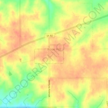
Name: Rose Hill topographic map, elevation, terrain.
Location: Rose Hill, Mahaska County, Iowa, United States (41.31828 -92.46873 41.32296 -92.45905)
Average elevation: 238 m
Minimum elevation: 209 m
Maximum elevation: 252 m