
Thank you for supporting this site ❤️
Make a donation
Make a donation
Allens Chapel topographic map
Click on the map to display elevation.
Thank you for supporting this site ❤️
Make a donation
Make a donation
About this map
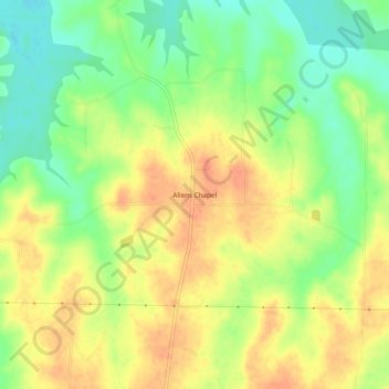
Name: Allens Chapel topographic map, elevation, terrain.
Location: Allens Chapel, Fannin County, Texas, United States (33.62733 -95.98025 33.66733 -95.94025)
Average elevation: 176 m
Minimum elevation: 151 m
Maximum elevation: 196 m
Thank you for supporting this site ❤️
Make a donation
Make a donation