
渭门乡 topographic map
Interactive map
Click on the map to display elevation.
About this map
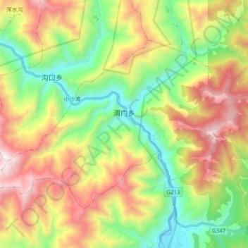
Name: 渭门乡 topographic map, elevation, terrain.
Location: 渭门乡, 茂县, 阿坝藏族羌族自治州, 四川省, 中国 (31.70765 103.73514 31.79666 103.88876)
Average elevation: 2,362 m
Minimum elevation: 1,552 m
Maximum elevation: 3,514 m