
Larquey topographic map
Interactive map
Click on the map to display elevation.
About this map
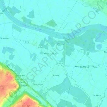
Name: Larquey topographic map, elevation, terrain.
Average elevation: 24 m
Minimum elevation: 13 m
Maximum elevation: 75 m
Other topographic maps
Click on a map to view its topography, its elevation and its terrain.
La Rue
France > Nouvelle-Aquitaine > Lot-et-Garonne > Gaujac > La Rue
La Rue, Gaujac, Marmande, Lot-et-Garonne, Nouvelle-Aquitaine, France métropolitaine, 47200, France
Average elevation: 24 m