
Thank you for supporting this site ❤️
Make a donation
Make a donation
Laguna Salada topographic map
Click on the map to display elevation.
Thank you for supporting this site ❤️
Make a donation
Make a donation
About this map
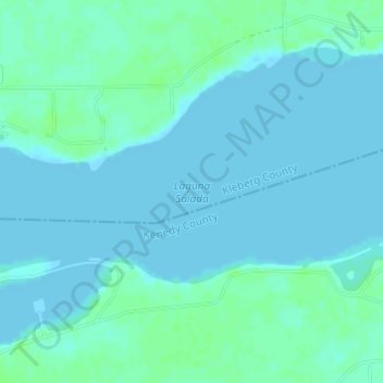
Name: Laguna Salada topographic map, elevation, terrain.
Location: Laguna Salada, Kleberg County, Texas, United States (27.27333 -97.69310 27.27343 -97.69300)
Average elevation: 3 m
Minimum elevation: 0 m
Maximum elevation: 8 m
Thank you for supporting this site ❤️
Make a donation
Make a donation