
Thank you for supporting this site ❤️
Make a donation
Make a donation
La Sarte topographic map
Click on the map to display elevation.
Thank you for supporting this site ❤️
Make a donation
Make a donation
About this map
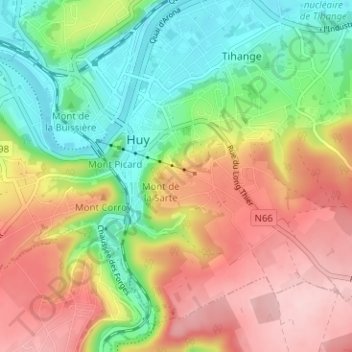
Name: La Sarte topographic map, elevation, terrain.
Location: La Sarte, Huy, Liège, Wallonie, 4500, Belgique (50.49390 5.22772 50.53390 5.26772)
Average elevation: 156 m
Minimum elevation: 64 m
Maximum elevation: 261 m
Thank you for supporting this site ❤️
Make a donation
Make a donation
Other topographic maps
Click on a map to view its topography, its elevation and its terrain.