
Maihar topographic map
Interactive map
Click on the map to display elevation.
About this map
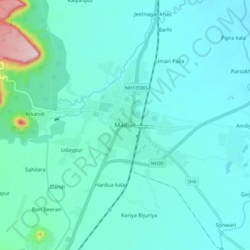
Name: Maihar topographic map, elevation, terrain.
Location: Maihar, Maihar Tahsil, Satna, Madhya Pradesh, India (24.22044 80.71927 24.30044 80.79927)
Average elevation: 356 m
Minimum elevation: 317 m
Maximum elevation: 608 m