
Capitana topographic map
Interactive map
Click on the map to display elevation.
About this map
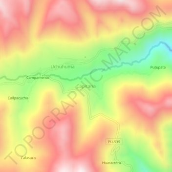
Name: Capitana topographic map, elevation, terrain.
Location: Capitana, Coasa, Carabaya, Puno, Perú (-13.97293 -70.06458 -13.93293 -70.02458)
Average elevation: 4,068 m
Minimum elevation: 3,643 m
Maximum elevation: 4,391 m