
禾然色巴村 topographic map
Interactive map
Click on the map to display elevation.
About this map
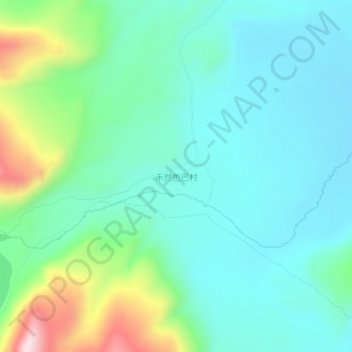
Name: 禾然色巴村 topographic map, elevation, terrain.
Location: 禾然色巴村, 禾尼乡, 理塘县, 甘孜藏族自治州, 四川省, 中国 (30.14869 99.74011 30.18869 99.78011)
Average elevation: 4,305 m
Minimum elevation: 4,200 m
Maximum elevation: 4,646 m