
杨家河 topographic map
Interactive map
Click on the map to display elevation.
About this map
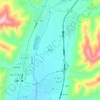
Name: 杨家河 topographic map, elevation, terrain.
Location: 杨家河, 塘川镇, 互助土族自治县, 海东市, 青海省, 中国 (36.69051 101.87421 36.73051 101.91421)
Average elevation: 2,406 m
Minimum elevation: 2,309 m
Maximum elevation: 2,667 m