
Thank you for supporting this site ❤️
Make a donation
Make a donation
Las Playitas topographic map
Click on the map to display elevation.
Thank you for supporting this site ❤️
Make a donation
Make a donation
About this map
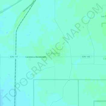
Name: Las Playitas topographic map, elevation, terrain.
Location: Las Playitas, Etchojoa, Sonora, 85281, Mexico (26.96510 -109.63553 27.00510 -109.59553)
Average elevation: 21 m
Minimum elevation: 18 m
Maximum elevation: 24 m
Thank you for supporting this site ❤️
Make a donation
Make a donation