
柘城县 topographic map
Interactive map
Click on the map to display elevation.
About this map
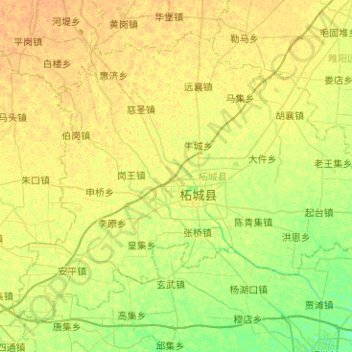
Name: 柘城县 topographic map, elevation, terrain.
Location: 柘城县, 商丘市, 河南省, 中国 (33.93171 115.04026 34.27542 115.54417)
Average elevation: 49 m
Minimum elevation: 38 m
Maximum elevation: 57 m
Other topographic maps
Click on a map to view its topography, its elevation and its terrain.