
下河 topographic map
Interactive map
Click on the map to display elevation.
About this map
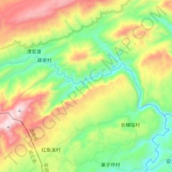
Name: 下河 topographic map, elevation, terrain.
Location: 下河, 常德市, 湖南省, 中国 (29.83801 110.59001 29.87526 110.71229)
Average elevation: 845 m
Minimum elevation: 347 m
Maximum elevation: 1,646 m
Other topographic maps
Click on a map to view its topography, its elevation and its terrain.