
双港镇 topographic map
Interactive map
Click on the map to display elevation.
About this map
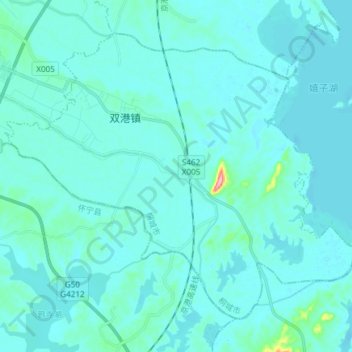
Name: 双港镇 topographic map, elevation, terrain.
Location: 双港镇, 桐城市, 安庆市, 安徽省, 中国 (30.74143 116.89376 30.84560 117.04317)
Average elevation: 15 m
Minimum elevation: 5 m
Maximum elevation: 139 m
Other topographic maps
Click on a map to view its topography, its elevation and its terrain.