
唐古拉镇 topographic map
Interactive map
Click on the map to display elevation.
About this map
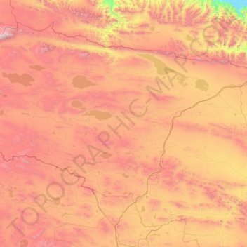
Name: 唐古拉镇 topographic map, elevation, terrain.
Location: 唐古拉镇, 格尔木市, 海西蒙古族藏族自治州, Qinghai, China (33.86662 91.26401 36.37545 94.86185)
Average elevation: 4,722 m
Minimum elevation: 2,780 m
Maximum elevation: 6,756 m