
Bandama topographic map
Interactive map
Click on the map to display elevation.
About this map
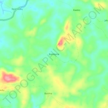
Name: Bandama topographic map, elevation, terrain.
Location: Bandama, Kailahun District, Eastern Province, Sierra Leone (8.28969 -10.50855 8.32969 -10.46855)
Average elevation: 360 m
Minimum elevation: 318 m
Maximum elevation: 438 m