
Nesset topographic map
Interactive map
Click on the map to display elevation.
About this map
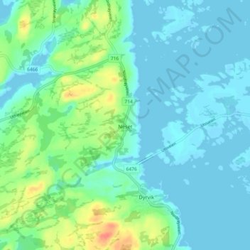
Name: Nesset topographic map, elevation, terrain.
Location: Nesset, Frøya, Trøndelag, 7261, Norvège (63.74865 8.79409 63.78865 8.83409)
Average elevation: 12 m
Minimum elevation: -2 m
Maximum elevation: 52 m