
Fajã Grande topographic map
Interactive map
Click on the map to display elevation.
About this map
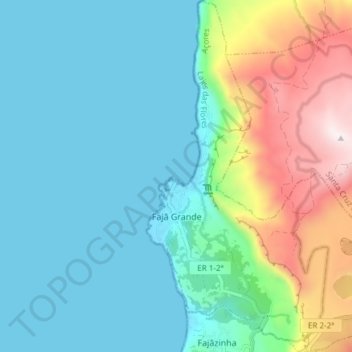
Name: Fajã Grande topographic map, elevation, terrain.
Location: Fajã Grande, Lajes das Flores, Açores, Portugal (39.43149 -31.26881 39.48950 -31.19755)
Average elevation: 214 m
Minimum elevation: 0 m
Maximum elevation: 889 m