
Thank you for supporting this site ❤️
Make a donation
Make a donation
Bertrée topographic map
Click on the map to display elevation.
Thank you for supporting this site ❤️
Make a donation
Make a donation
About this map
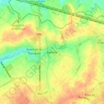
Name: Bertrée topographic map, elevation, terrain.
Location: Bertrée, Hannut, Waremme, Liège, Wallonie, 4280, Belgique (50.67418 5.06956 50.71418 5.10956)
Average elevation: 127 m
Minimum elevation: 105 m
Maximum elevation: 143 m
Thank you for supporting this site ❤️
Make a donation
Make a donation
Other topographic maps
Click on a map to view its topography, its elevation and its terrain.