
Santa Rosa County topographic map
Click on the map to display elevation.
About this map
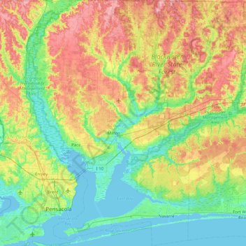
Name: Santa Rosa County topographic map, elevation, terrain.
Location: Santa Rosa County, Florida, United States (30.31872 -87.31384 30.99959 -86.78583)
Average elevation: 32 m
Minimum elevation: -4 m
Maximum elevation: 93 m
Other topographic maps
Click on a map to view its topography, its elevation and its terrain.