
Romboe topographic map
Interactive map
Click on the map to display elevation.
About this map
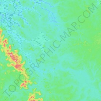
Name: Romboe topographic map, elevation, terrain.
Location: Romboe, Komo Department, Estuaire, Gabon (-0.26604 9.83371 0.00060 10.13100)
Average elevation: 41 m
Minimum elevation: 1 m
Maximum elevation: 316 m
Other topographic maps
Click on a map to view its topography, its elevation and its terrain.