
Reitland topographic map
Interactive map
Click on the map to display elevation.
About this map
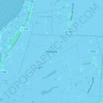
Name: Reitland topographic map, elevation, terrain.
Average elevation: -1 m
Minimum elevation: -4 m
Maximum elevation: 4 m
Other topographic maps
Click on a map to view its topography, its elevation and its terrain.
Augustgroden
Deutschland > Niedersachsen > Landkreis Wesermarsch > Stadland > Augustgroden
Augustgroden, Stadland, Landkreis Wesermarsch, Niedersachsen, 26937, Deutschland
Average elevation: 0 m