
Wiesenbronn topographic map
Interactive map
Click on the map to display elevation.
Wiesenbronn
Naturräumlich liegt Wiesenbronn im Schwanbergvorland, einem Teil des Steigerwaldvorlandes. Die Landschaft ist durch kleinere Hügel charakterisiert; in Richtung des Steigerwaldes nimmt ihre Höhe zu.
About this map
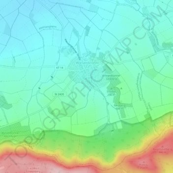
Name: Wiesenbronn topographic map, elevation, terrain.
Average elevation: 296 m
Minimum elevation: 231 m
Maximum elevation: 478 m