
Thank you for supporting this site ❤️
Make a donation
Make a donation
Weyhe topographic map
Click on the map to display elevation.
Thank you for supporting this site ❤️
Make a donation
Make a donation
About this map
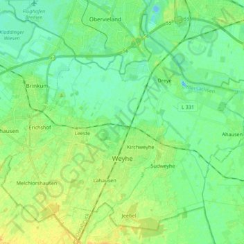
Name: Weyhe topographic map, elevation, terrain.
Location: Weyhe, Landkreis Diepholz, Lower Saxony, Germany (52.95294 8.76754 53.04070 8.93257)
Average elevation: 8 m
Minimum elevation: -8 m
Maximum elevation: 20 m
Thank you for supporting this site ❤️
Make a donation
Make a donation