
Thank you for supporting this site ❤️
Make a donation
Make a donation
K12 topographic map
Click on the map to display elevation.
Thank you for supporting this site ❤️
Make a donation
Make a donation
About this map
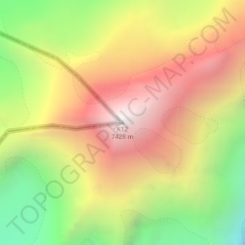
Name: K12 topographic map, elevation, terrain.
Location: K12, Nubra, Leh district, Ladakh, India (35.29540 77.02182 35.29550 77.02192)
Average elevation: 6,475 m
Minimum elevation: 5,415 m
Maximum elevation: 7,446 m
Thank you for supporting this site ❤️
Make a donation
Make a donation