
Ighil Lekhmis topographic map
Interactive map
Click on the map to display elevation.
About this map
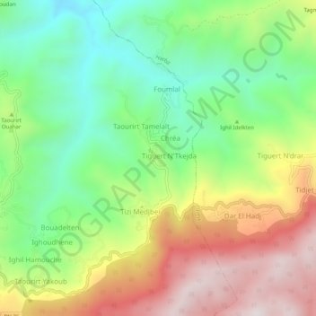
Name: Ighil Lekhmis topographic map, elevation, terrain.
Location: Ighil Lekhmis, Guenzet, Daïra Guenzet, Sétif, Algérie (36.31264 4.84430 36.35264 4.88430)
Average elevation: 1,011 m
Minimum elevation: 651 m
Maximum elevation: 1,504 m