
Murchison topographic map
Interactive map
Click on the map to display elevation.
About this map
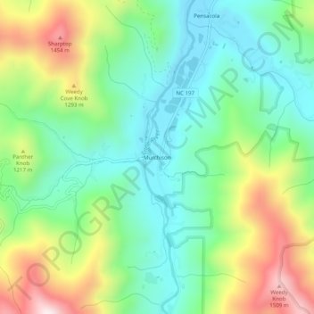
Name: Murchison topographic map, elevation, terrain.
Location: Murchison, Yancey County, North Carolina, United States (35.80984 -82.33596 35.84984 -82.29596)
Average elevation: 1,097 m
Minimum elevation: 867 m
Maximum elevation: 1,543 m