
Redditch topographic map
Click on the map to display elevation.
About this map
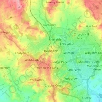
Name: Redditch topographic map, elevation, terrain.
Location: Redditch, Worcestershire, England, B97 4ET, United Kingdom (52.26577 -1.98174 52.34577 -1.90174)
Average elevation: 115 m
Minimum elevation: 58 m
Maximum elevation: 199 m