
Thank you for supporting this site ❤️
Make a donation
Make a donation
Dudhani topographic map
Click on the map to display elevation.
Thank you for supporting this site ❤️
Make a donation
Make a donation
About this map
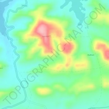
Name: Dudhani topographic map, elevation, terrain.
Location: Dudhani, Dharni, Amravati, Maharashtra, India (21.42760 76.78737 21.43645 76.81113)
Average elevation: 385 m
Minimum elevation: 332 m
Maximum elevation: 485 m
Thank you for supporting this site ❤️
Make a donation
Make a donation