
Thank you for supporting this site ❤️
Make a donation
Make a donation
Huntsville topographic map
Click on the map to display elevation.
Thank you for supporting this site ❤️
Make a donation
Make a donation
About this map
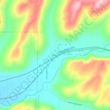
Name: Huntsville topographic map, elevation, terrain.
Location: Huntsville, Columbia County, Washington, United States (46.26708 -118.12717 46.30708 -118.08717)
Average elevation: 477 m
Minimum elevation: 389 m
Maximum elevation: 620 m
Thank you for supporting this site ❤️
Make a donation
Make a donation
Other topographic maps
Click on a map to view its topography, its elevation and its terrain.