
Marhaba topographic map
Interactive map
Click on the map to display elevation.
About this map
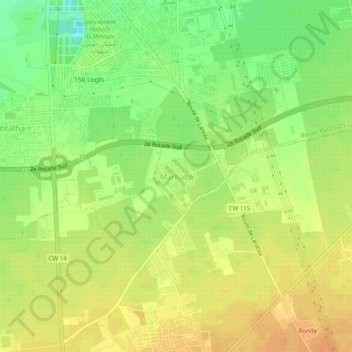
Name: Marhaba topographic map, elevation, terrain.
Location: Marhaba, Baraki, Daïra Baraki, Alger, 16061, Algérie (36.62264 3.08367 36.66264 3.12367)
Average elevation: 31 m
Minimum elevation: 10 m
Maximum elevation: 46 m