
Treia topographic map
Interactive map
Click on the map to display elevation.
About this map
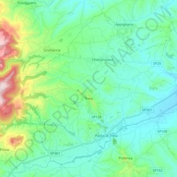
Name: Treia topographic map, elevation, terrain.
Location: Treia, MC, Marcas, Itália (43.26331 13.22919 43.37168 13.40354)
Average elevation: 249 m
Minimum elevation: 105 m
Maximum elevation: 807 m