
Moran topographic map
Interactive map
Click on the map to display elevation.
About this map
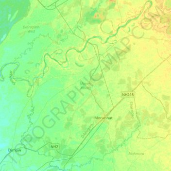
Name: Moran topographic map, elevation, terrain.
Location: Moran, Dibrugarh, Assam, India (27.09107 94.75463 27.38213 95.06701)
Average elevation: 102 m
Minimum elevation: 92 m
Maximum elevation: 114 m
Other topographic maps
Click on a map to view its topography, its elevation and its terrain.
Nambor-Doigrung WLS
Nambor-Doigrung WLS, Morangi, Golaghat District, Assam, 785613, India
Average elevation: 112 m