
Praets topographic map
Interactive map
Click on the map to display elevation.
About this map
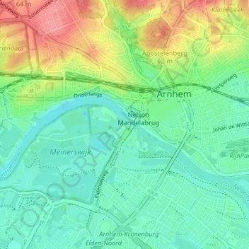
Name: Praets topographic map, elevation, terrain.
Location: Praets, Arnhem, Güeldres, Países Bajos, 6841, Países Bajos (51.95926 5.87792 51.99926 5.91792)
Average elevation: 25 m
Minimum elevation: -2 m
Maximum elevation: 79 m