
River Edge topographic map
Interactive map
Click on the map to display elevation.
About this map
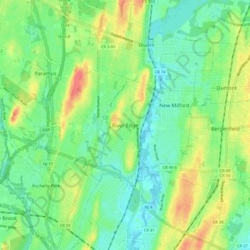
Name: River Edge topographic map, elevation, terrain.
Location: River Edge, Bergen County, New Jersey, 07661, United States (40.88871 -74.07986 40.96871 -73.99986)
Average elevation: 21 m
Minimum elevation: 1 m
Maximum elevation: 55 m