
Bendaoud topographic map
Interactive map
Click on the map to display elevation.
About this map
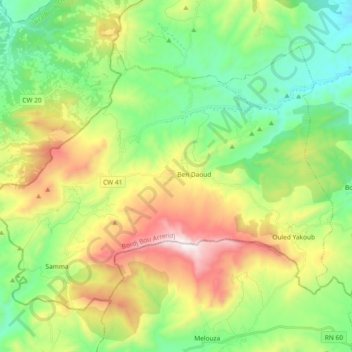
Name: Bendaoud topographic map, elevation, terrain.
Location: Bendaoud, Daïra Mansourah, Bordj Bou Arreridj, 34039, Algérie (35.99401 4.06948 36.10854 4.25472)
Average elevation: 1,102 m
Minimum elevation: 704 m
Maximum elevation: 1,830 m