
Montfragon topographic map
Interactive map
Click on the map to display elevation.
About this map
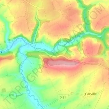
Name: Montfragon topographic map, elevation, terrain.
Average elevation: 134 m
Minimum elevation: 69 m
Maximum elevation: 202 m
Other topographic maps
Click on a map to view its topography, its elevation and its terrain.
Souleuvre
France > Normandie > Calvados > Souleuvre-en-Bocage > Montfragon
Souleuvre, Viaduc de la Souleuvre, Montfragon, Carville, Souleuvre-en-Bocage, Vire, Calvados, Normandie, France métropolitaine, 14350, France
Average elevation: 149 m