
打帽岐 topographic map
Interactive map
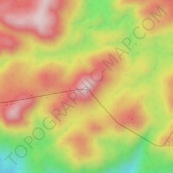
Click on the map to display elevation.
About this map
Name: 打帽岐 topographic map, elevation, terrain.
Location: 打帽岐, 宜章县, 郴州市, 湖南省, 中国 (24.92496 112.93106 24.92506 112.93116)
Average elevation: 1,330 m
Minimum elevation: 1,100 m
Maximum elevation: 1,477 m
Other topographic maps
Click on a map to view its topography, its elevation and its terrain.